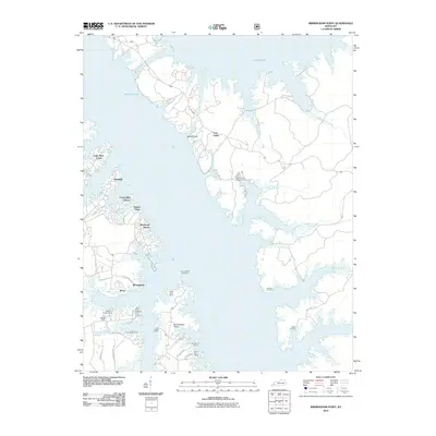
2010 Map of Birmingham Point
USGS Topo · Published 2010About this map
Kentucky Lake and Lake Barkley dominate this 2010 landscape, linked by the Barkley Canal in the northern portion of the quadrangle. The map captures a region shaped by massive water projects, where the remnants of earlier settlements are preserved through names like Birmingham and its namesake Birmingham Point. The area's recreational and community character is evident in the dense clusters of shoreline developments such as Cambridge Shores, Buena Vista, and Sherwood Shores, alongside numerous youth and group retreats including Camp Currie and Camp Cum-Ba-Ya.
Find a feature on this map
47 named features on this map. Tap any name to fly to it.
Don’t see what you’re looking for? This feature index may not catch every label — zoom into the map to look around manually.
Map Details
Editions of this 2010 Birmingham Point Map
This is the sole edition of this map. No revisions or reprints were ever made.
Other maps of this area

1928 · Eddyville
USGS Topo · 1:48,000

1929 · Smithland
USGS Topo · 1:62,500

1931 · Eddyville
USGS Topo · 1:62,500

1936 · Eddyville
USGS Topo · 1:48,000

1936 · Mont
USGS Topo · 1:24,000

1936 · Fenton
USGS Topo · 1:24,000

1936 · Grand Rivers
USGS Topo · 1:24,000

1936 · Hardin
USGS Topo · 1:24,000

1936 · Smithland
USGS Topo · 1:48,000

1936 · Hiatt
USGS Topo · 1:24,000