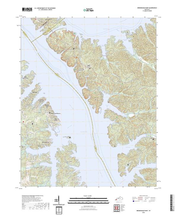
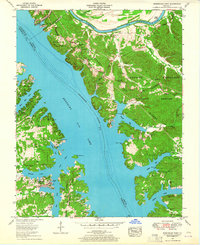
2022 Map of Birmingham Point
USGS Topo · Published 2022About this map
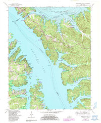
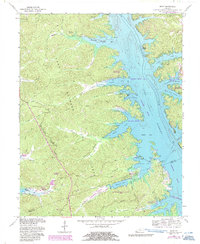
Kentucky Lake and Lake Barkley dominate this landscape, illustrating the profound transformation of the region following the damming of the Tennessee River and Cumberland River. The map reveals a complex network of inlets and bays, such as Pisgah Bay and Smith Bay, which now submerge much of the original valley terrain. The Tennessee Valley Divide remains a prominent topographical feature, separating the two major watersheds connected by the Barkley Canal near Grand Rivers.
Find a feature on this map
111 named features on this map. Tap any name to fly to it.
Don’t see what you’re looking for? This feature index may not catch every label — zoom into the map to look around manually.
Map Details
Editions of this 2022 Birmingham Point Map
This is the sole edition of this map. No revisions or reprints were ever made.
Historical Maps of Twin Lakes Through Time
11 maps found
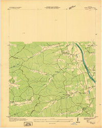
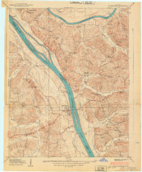
1936 Birmingham
Lyon County, KY
1936 Golden Pond
Lyon County, KY
1936 Mont
Lyon County, KY
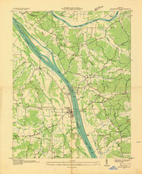
1938 Birmingham
Lyon County, KY
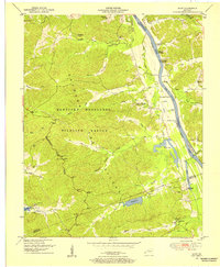
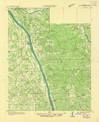
1950 Mont
Lyon County, KY
1955 Birmingham Point
Lyon County, KY
1955 Golden Pond
Lyon County, KY
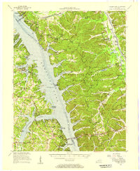
1967 Birmingham Point
Lyon County, KY
1967 Mont
Lyon County, KY
2022 Birmingham Point
Lyon County, KY
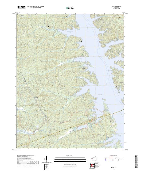
2022 Mont
Lyon County, KY