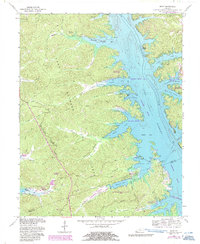
1967 Map of Mont
USGS Topo · Published 1987About this map
Lake Barkley and the Cumberland River dominate the eastern landscape of this 1967 survey, defining the rugged geography of the Land Between the Lakes. This peninsula, divided by the Tennessee Valley Divide, shows a transition toward recreation and conservation with the establishment of the Wildlife Refuge and Environmental Education Area.
Find a feature on this map
60 named features on this map. Tap any name to fly to it.
Don’t see what you’re looking for? This feature index may not catch every label — zoom into the map to look around manually.
Map Details
Editions of this 1967 Mont Map
2 editions found
Other maps of this area

1908 · Princeton
USGS Topo · 1:62,500

1910 · Princeton
USGS Topo · 1:62,500

1928 · Eddyville
USGS Topo · 1:48,000

1931 · Eddyville
USGS Topo · 1:62,500

1936 · Eddyville
USGS Topo · 1:48,000

1936 · Mont
USGS Topo · 1:24,000

1936 · Fenton
USGS Topo · 1:24,000

1936 · Grand Rivers
USGS Topo · 1:24,000

1936 · Hiatt
USGS Topo · 1:24,000

1936 · Birmingham
USGS Topo · 1:24,000