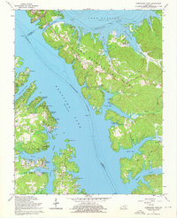
1967 Map of Birmingham Point
USGS Topo · Published 1976About this map
Land Between The Lakes dominates this mid-1960s perspective of the Kentucky-Tennessee borderlands, showing the narrow peninsula defined by the massive impoundments of Kentucky Lake and Lake Barkley. This geography was radically transformed by the Barkley Canal and the inundation of the Cumberland and Tennessee River valleys. The settlement of Birmingham and its namesake Birmingham Cem sit on the western shoreline, serving as reminders of the community that preceded the lake's rise. Along the peninsula's high ground, The Trace follows the Tennessee Valley Divide, providing access to numerous public grounds like the Hillman Ferry Camping Area and Birmingham Ferry Recreation Area. For genealogists, the map is a vital record of family landmarks including Newby Cem, O'Brien Cem, and Paradise Ch, many of which were left isolated on peninsulas by the rising waters of bays like Pisgah Bay and Smith Bay.
Find a feature on this map
73 named features on this map. Tap any name to fly to it.
Don’t see what you’re looking for? This feature index may not catch every label — zoom into the map to look around manually.
Map Details
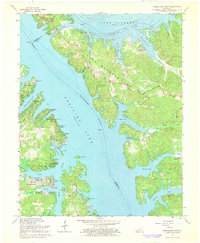
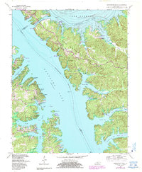
Editions of this 1967 Birmingham Point Map
3 editions found
Other maps of this area

1928 · Eddyville
USGS Topo · 1:48,000

1929 · Smithland
USGS Topo · 1:62,500

1931 · Eddyville
USGS Topo · 1:62,500

1936 · Eddyville
USGS Topo · 1:48,000

1936 · Mont
USGS Topo · 1:24,000

1936 · Fenton
USGS Topo · 1:24,000

1936 · Grand Rivers
USGS Topo · 1:24,000

1936 · Hardin
USGS Topo · 1:24,000

1936 · Smithland
USGS Topo · 1:48,000

1936 · Hiatt
USGS Topo · 1:24,000