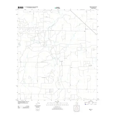
2012 Map of Biry
USGS Topo · Published 2012About this map
Honda Cr and its tributaries carve a network of drainages across this Medina County landscape, defining the rural character of the area around Biry. The map reveals a region defined by large-scale ranching and resource extraction, notably centered on Adams Ranch and the nearby Adams Oil Field. Long-established family ties to the land are evident in the placement of the Mussman Cem and Howard Cemetery, which serve as anchor points for local genealogical research. The road system is a mix of state-maintained routes like FM-2200 and a dense web of county and private tracks, including Mcannally Ln, illustrating the partitioned nature of Texas land holdings. Water features such as Elm Slough and Live Oak Cr suggest the natural drainage patterns that have historically influenced settlement and grazing throughout this part of the state.
Find a feature on this map
28 named features on this map. Tap any name to fly to it.
Don’t see what you’re looking for? This feature index may not catch every label — zoom into the map to look around manually.
Map Details
Editions of this 2012 Biry Map
This is the sole edition of this map. No revisions or reprints were ever made.
Other maps of this area
1942 · Natalia
USGS Topo · 1:62,500

1954 · San Antonio
USGS Topo · 1:250,000
1956 · New Fountain
USGS Topo · 1:62,500
1957 · San Antonio
USGS Topo · 1:250,000
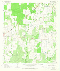
1964 · Ghost Hill
USGS Topo · 1:24,000
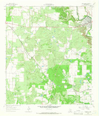
1964 · Castroville
USGS Topo · 1:24,000
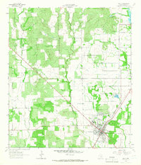
1964 · Devine
USGS Topo · 1:24,000
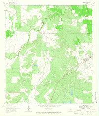
1964 · Moore
USGS Topo · 1:24,000
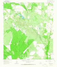
1964 · Wilson Ranch
USGS Topo · 1:24,000
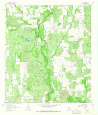
1964 · Biry
USGS Topo · 1:24,000