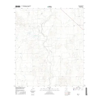
2016 Map of Biry
USGS Topo · Published 2016About this map
Mussman Cem sits on a high point overlooking the seasonal drainages of central Medina County, marking a localized pocket of family history within this ranching landscape. The settlement of Biry is situated in the northeast, positioned where the terrain transitions toward the more frequent crossings of Brier Br. The map reveals a complex network of watercourses, including the winding Hondo Creek and the bifurcated George Wilson Lake Number 1 and George-Wilson Lake Number 2, which suggest managed water resources essential for the local agricultural economy. Named local roads like Faseler Ln and various county routes connect scattered homesteads, reflecting a dispersed settlement pattern typical of this Texas region. This survey captures the topographical nuances of the land as it drains toward E Tehuacana Cr and Elm Slough, providing a detailed look at the rural infrastructure and land use in the mid-2010s.
Find a feature on this map
30 named features on this map. Tap any name to fly to it.
Don’t see what you’re looking for? This feature index may not catch every label — zoom into the map to look around manually.
Map Details
Editions of this 2016 Biry Map
This is the sole edition of this map. No revisions or reprints were ever made.
Other maps of this area
1942 · Natalia
USGS Topo · 1:62,500

1954 · San Antonio
USGS Topo · 1:250,000
1956 · New Fountain
USGS Topo · 1:62,500
1957 · San Antonio
USGS Topo · 1:250,000
1964 · Ghost Hill
USGS Topo · 1:24,000
1964 · Castroville
USGS Topo · 1:24,000
1964 · Devine
USGS Topo · 1:24,000
1964 · Moore
USGS Topo · 1:24,000
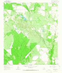
1964 · Wilson Ranch
USGS Topo · 1:24,000
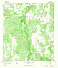
1964 · Biry
USGS Topo · 1:24,000