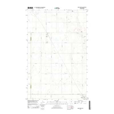
2014 Map of Bisbee North
USGS Topo · Published 2014About this map
Perth sits at a geographic crossroads in northern North Dakota, anchored by the intersection of Co Road 4805 and Co Road 4820. This area of the Great Plains is defined by a rhythmic grid of section lines and gravel roads, including Perth Rd and 54th Ave NE, which marks the boundary between Rolette Co and Towner Co. The landscape is etched by the winding path of Big Coulee, which cuts across the northern and eastern portions of the terrain. To the south, the community of Bisbee is positioned along ND-66, serving as a local hub. For those researching local heritage, the map identifies the Perth Cem and Bisbee Cem, offering specific points of interest for genealogical study within this agricultural prairie setting.
Find a feature on this map
31 named features on this map. Tap any name to fly to it.
Don’t see what you’re looking for? This feature index may not catch every label — zoom into the map to look around manually.
Map Details
Editions of this 2014 Bisbee North Map
This is the sole edition of this map. No revisions or reprints were ever made.
Other maps of this area

1953 · Devils Lake
USGS Topo · 1:250,000

1956 · Devils Lake
USGS Topo · 1:250,000
1970 · Hansboro SW
USGS Topo · 1:24,000
1970 · Hansboro SE
USGS Topo · 1:24,000
1970 · Rolla
USGS Topo · 1:24,000
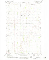
1971 · Bisbee South
USGS Topo · 1:24,000
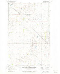
1971 · Considine
USGS Topo · 1:24,000
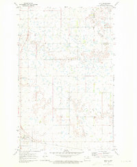
1971 · Mylo
USGS Topo · 1:24,000
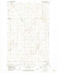
1971 · Bisbee North
USGS Topo · 1:24,000
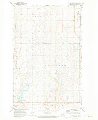
1971 · Big Coulee Dam
USGS Topo · 1:24,000