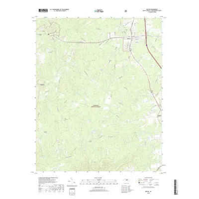
2019 Map of Biscoe
USGS Topo · Published 2019About this map
Uwharrie National Forest dominates the central landscape of this Montgomery County survey, illustrating the deep intersection of public timberlands and local settlements. The town of Biscoe serves as a primary hub in the northeast, where the rail-aligned corridor of S Main St meets established residential and industrial zones. Moving south toward Candor, the terrain is defined by a network of small watercourses and family-named landmarks, such as Parson Brothers Pond and Lewis Mill Pond. These water features, alongside numerous tributaries like Bridgers Cr and Reedy Fork, reflect the historical reliance on local hydrology for milling and agriculture. Genealogists will find significant value in the distribution of rural burial grounds, including Blake Cem and Munn Cem, which remain preserved within the forested tracts and along the quiet roads connecting Troy and Capelsie.
Find a feature on this map
85 named features on this map. Tap any name to fly to it.
Don’t see what you’re looking for? This feature index may not catch every label — zoom into the map to look around manually.
Map Details
Editions of this 2019 Biscoe Map
This is the sole edition of this map. No revisions or reprints were ever made.
Other maps of this area

1942 · Troy
USGS Topo · 1:125,000

1949 · Jackson Springs
USGS Topo · 1:62,500

1950 · Norman
USGS Topo · 1:24,000

1953 · Raleigh
USGS Topo · 1:250,000

1954 · Raleigh
USGS Topo · 1:250,000

1956 · Mount Gilead East
USGS Topo · 1:24,000

1956 · Harrisville
USGS Topo · 1:24,000

1957 · Troy
USGS Topo · 1:62,500
1957 · Jackson Springs
USGS Topo · 1:62,500

1974 · Candor
USGS Topo · 1:24,000