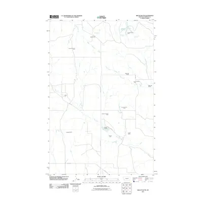
2011 Map of Biscuit Butte
USGS Topo · Published 2011About this map
McKrone Reservoir and a network of livestock water developments anchor this corner of Garfield County, where the landscape is defined by its drainages and isolated landforms. In this part of the Montana ranchlands, family names are permanently etched into the geography via early 21st-century infrastructure, including the Engdahl Number 3 Dam, Murnion Dam, and Lehner Dam. These man-made features, alongside natural sources like Biscuit Butte Spring and Lindbergh Spring, demonstrate the critical role of water management in an area dominated by cattle operations and wide-open rangeland.
Find a feature on this map
26 named features on this map. Tap any name to fly to it.
Don’t see what you’re looking for? This feature index may not catch every label — zoom into the map to look around manually.
Map Details
Editions of this 2011 Biscuit Butte Map
This is the sole edition of this map. No revisions or reprints were ever made.
Other maps of this area
1954 · Jordan
USGS Topo · 1:250,000
1956 · Jordan
USGS Topo · 1:250,000
1958 · Jordan
USGS Topo · 1:250,000
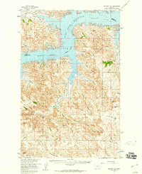
1958 · Maloney Hill
USGS Topo · 1:62,500
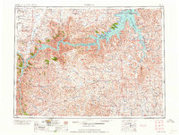
1964 · Jordan
USGS Topo · 1:250,000
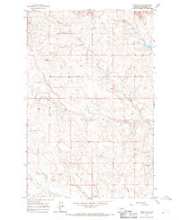
1964 · Jordan NW
USGS Topo · 1:24,000
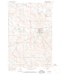
1964 · Jordan
USGS Topo · 1:24,000
1971 · Hell Hollow
USGS Topo · 1:24,000
1971 · Trumbo Ranch
USGS Topo · 1:24,000
1978 · Fort Peck Lake West
USGS Topo · 1:100,000