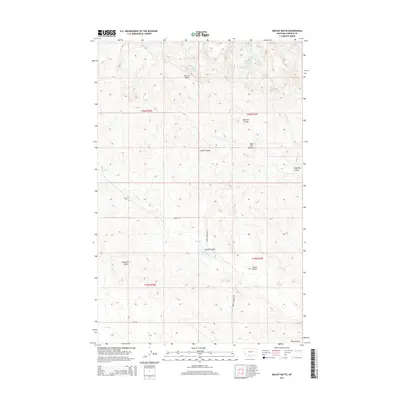
2014 Map of Biscuit Butte
USGS Topo · Published 2014About this map
Biscuit Butte and a series of prominent landforms define this high-plains landscape in Garfield County, reflecting the characteristic erosion patterns of the Missouri River Breaks region. The area is marked by numerous buttes, including Haystack Butte and the Castle Butte, which served as critical navigation landmarks in an otherwise uniform terrain. The land is dissected by deep coulees like Sage Hen Coulee and Camel Coulee, which channel seasonal runoff into watercourses such as Hell Cr and Frazier Cr.
Find a feature on this map
23 named features on this map. Tap any name to fly to it.
Don’t see what you’re looking for? This feature index may not catch every label — zoom into the map to look around manually.
Map Details
Editions of this 2014 Biscuit Butte Map
This is the sole edition of this map. No revisions or reprints were ever made.
Other maps of this area
1954 · Jordan
USGS Topo · 1:250,000
1956 · Jordan
USGS Topo · 1:250,000
1958 · Jordan
USGS Topo · 1:250,000
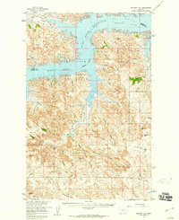
1958 · Maloney Hill
USGS Topo · 1:62,500
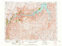
1964 · Jordan
USGS Topo · 1:250,000
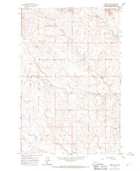
1964 · Jordan NW
USGS Topo · 1:24,000
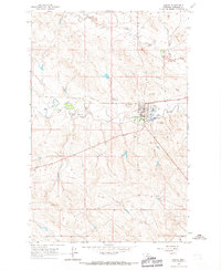
1964 · Jordan
USGS Topo · 1:24,000
1971 · Hell Hollow
USGS Topo · 1:24,000
1971 · Trumbo Ranch
USGS Topo · 1:24,000
1978 · Fort Peck Lake West
USGS Topo · 1:100,000