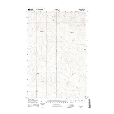
2017 Map of Biscuit Butte
USGS Topo · Published 2017About this map
Biscuit Butte and Haystack Butte anchor this high-plains landscape in Garfield County, where the terrain is defined by dramatic buttes and deep coulees. The map illustrates a network of essential water sources in an arid environment, including Mc Krone Reservoir, Mc Krone Spring, and Lindbergh Spring. These features, along with Biscuit Butte Spring, represent the vital water infrastructure necessary for ranching and settlement in this part of Montana. The drainage patterns of Hell Cr and Frazier Cr carve through the section lines, while a limited road network consisting of Snow Creek Rd, Brusett Rd, and Baker Rd connects the remote homesteads and grazing lands. Further south, Castle Butte and Piney Buttes mark the skyline, showing the transition between various coulees like Camel Coulee and Sage Hen Coulee.
Find a feature on this map
23 named features on this map. Tap any name to fly to it.
Don’t see what you’re looking for? This feature index may not catch every label — zoom into the map to look around manually.
Map Details
Editions of this 2017 Biscuit Butte Map
This is the sole edition of this map. No revisions or reprints were ever made.
Other maps of this area
1954 · Jordan
USGS Topo · 1:250,000
1956 · Jordan
USGS Topo · 1:250,000
1958 · Jordan
USGS Topo · 1:250,000
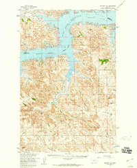
1958 · Maloney Hill
USGS Topo · 1:62,500
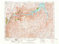
1964 · Jordan
USGS Topo · 1:250,000
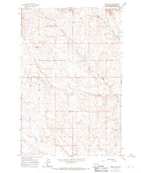
1964 · Jordan NW
USGS Topo · 1:24,000
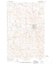
1964 · Jordan
USGS Topo · 1:24,000
1971 · Hell Hollow
USGS Topo · 1:24,000
1971 · Trumbo Ranch
USGS Topo · 1:24,000
1978 · Fort Peck Lake West
USGS Topo · 1:100,000