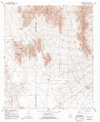
1955 Map of Bishop Cap
USGS Topo · Published 1994About this map
Organ Mountains dominate the northern landscape of this Doña Ana County survey, where the rugged topography meets the desert floor of the Mesilla Valley. The map captures a region primarily defined by federal management, split between the Organ Mountains National Recreation Area and the Fort Bliss Military Reservation. Evidence of human activity is scattered across the arid terrain, ranging from the Dona Ana Range Camp in the southeast to various ruins and the Hebert Mine near the prominent Bishop Cap peak.
Find a feature on this map
26 named features on this map. Tap any name to fly to it.
Don’t see what you’re looking for? This feature index may not catch every label — zoom into the map to look around manually.
Map Details
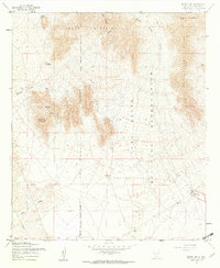
Editions of this 1955 Bishop Cap Map
2 editions found
Other maps of this area

1891 · Las Cruces
USGS Topo · 1:125,000

1893 · Las Cruces
USGS Topo · 1:125,000

1940 · Newman
USGS Topo · 1:62,500

1941 · Organ Peak
USGS Topo · 1:62,500

1943 · La Mesa
USGS Topo · 1:62,500

1943 · Parker Lake
USGS Topo · 1:62,500

1943 · Newman
USGS Topo · 1:62,500

1943 · Organ Peak
USGS Topo · 1:62,500

1948 · Davies Tank
USGS Topo · 1:24,000

1948 · Newman NW
USGS Topo · 1:24,000