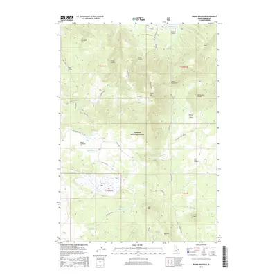
2017 Map of Bishop Mountain
USGS Topo · Published 2017About this map
Targhee National Forest dominates this section of eastern Idaho, showcasing a landscape shaped by ancient volcanic activity and modern water management. The topography is defined by the massive Henrys Fork Caldera and the adjacent Island Park Caldera, creating broad basin floors like North Antelope Flat and Antelope Flat. These open stretches are punctuated by prominent volcanic landforms such as Bishop Mtn, Monumental Summit, and the distinctive Little Butte.
Find a feature on this map
31 named features on this map. Tap any name to fly to it.
Don’t see what you’re looking for? This feature index may not catch every label — zoom into the map to look around manually.
Map Details
Editions of this 2017 Bishop Mountain Map
This is the sole edition of this map. No revisions or reprints were ever made.
Other maps of this area

1955 · Ashton
USGS Topo · 1:250,000
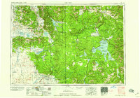
1958 · Ashton
USGS Topo · 1:250,000
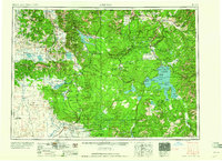
1960 · Ashton
USGS Topo · 1:250,000
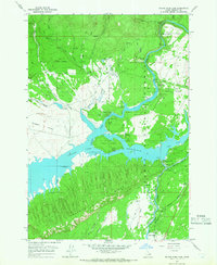
1964 · Island Park Dam
USGS Topo · 1:24,000
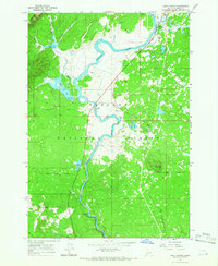
1964 · Last Chance
USGS Topo · 1:24,000
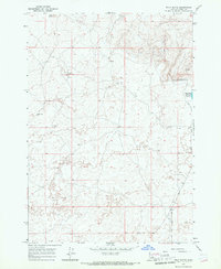
1965 · Split Butte
USGS Topo · 1:24,000
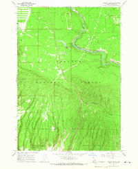
1965 · Lookout Butte
USGS Topo · 1:24,000
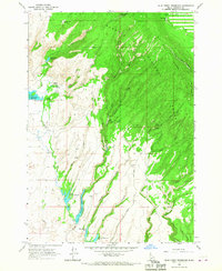
1965 · Blue Creek Reservoir
USGS Topo · 1:24,000
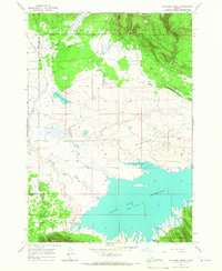
1965 · Icehouse Creek
USGS Topo · 1:24,000
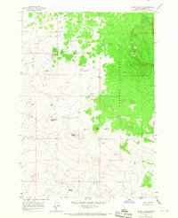
1965 · Crystal Butte
USGS Topo · 1:24,000