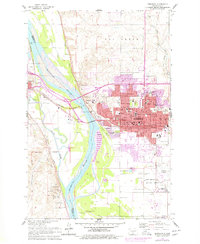
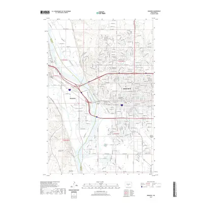
1907 Map of Bismarck
USGS Topo · Published 1938About this map
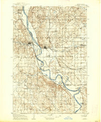
Bismarck stands as the central hub of this Missouri River landscape, where the Northern Pacific RR bridges the water to meet the town of Mandan. This 1905 survey, updated with 1911 rail data, provides a detailed view of the North Dakota state capital during its early growth, featuring the Capitol and the State Penitentiary on the city's outskirts. The winding Missouri River dominates the geography, flanked by a network of early transport routes including the Fort Yates Stage Road and the Minneapolis St Paul and Sault Ste Marie Ry.
Find a feature on this map
55 named features on this map. Tap any name to fly to it.
Don’t see what you’re looking for? This feature index may not catch every label — zoom into the map to look around manually.
Map Details
Editions of this 1907 Bismarck Map
2 editions found

Historical Maps of Bismarck Through Time
12 maps found
1907 Bismarck
Burleigh County, ND
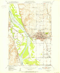
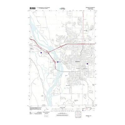
1950 Bismarck
Burleigh County, ND
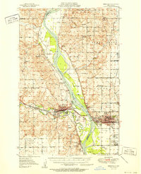
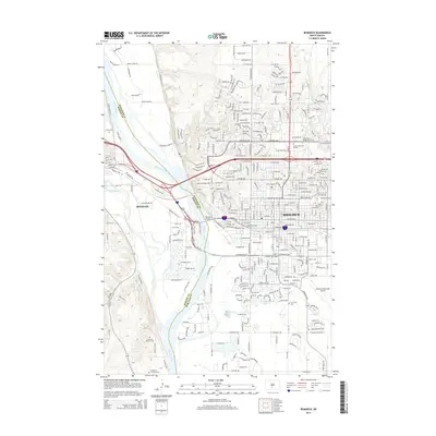
1951 Bismarck
Burleigh County, ND
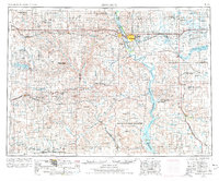
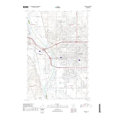
1954 Bismarck
Burleigh County, ND

1958 Bismarck
Burleigh County, ND
1962 Bismarck
Burleigh County, ND

1979 Bismarck
Burleigh County, ND
2011 Bismarck
Burleigh County, ND
2014 Bismarck
Burleigh County, ND
2017 Bismarck
Burleigh County, ND
2020 Bismarck
Burleigh County, ND
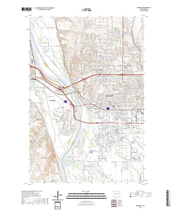
2024 Bismarck
Burleigh County, ND