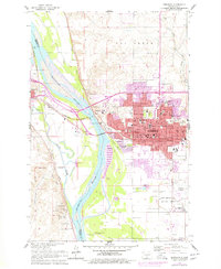
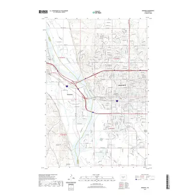
1954 Map of Bismarck
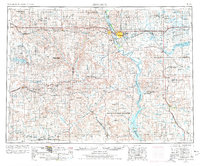
USGS Topo · Published 1977About this map
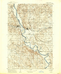
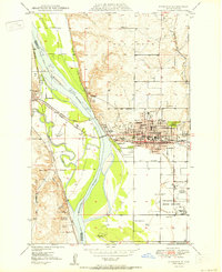
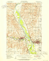
The Missouri River corridor serves as the central artery for this mid-century portrait of central North Dakota, where the capital city of Bismarck and neighboring Mandan anchor a landscape defined by prairie buttes and expansive river valley bottomlands. This survey illustrates the region just after the mid-1950s, showing the early stages of the Oahe Reservoir as it began to transform the river valley south toward the Standing Rock Indian Reservation.
Find a feature on this map
93 named features on this map. Tap any name to fly to it.
Don’t see what you’re looking for? This feature index may not catch every label — zoom into the map to look around manually.
Map Details
Editions of this 1954 Bismarck Map
2 editions found

Historical Maps of Bismarck Through Time
12 maps found
1907 Bismarck
Burleigh County, ND
1950 Bismarck
Burleigh County, ND
1951 Bismarck
Burleigh County, ND
1954 Bismarck
Burleigh County, ND

1958 Bismarck
Burleigh County, ND
1962 Bismarck
Burleigh County, ND

1979 Bismarck
Burleigh County, ND
2011 Bismarck
Burleigh County, ND
2014 Bismarck
Burleigh County, ND
2017 Bismarck
Burleigh County, ND
2020 Bismarck
Burleigh County, ND
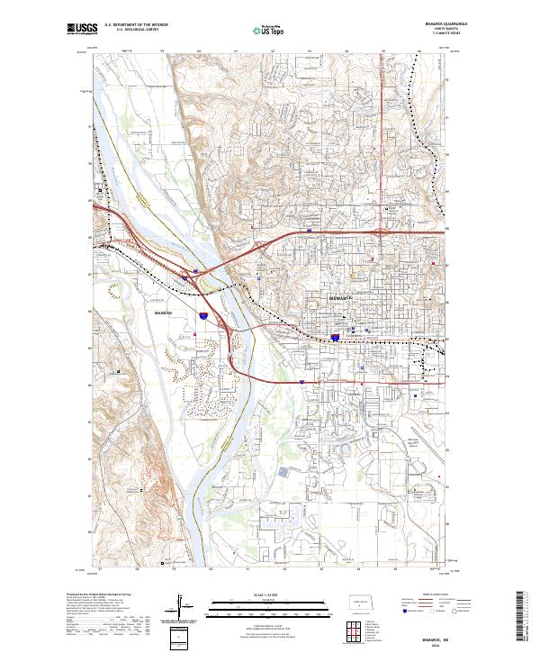
2024 Bismarck
Burleigh County, ND