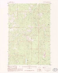
1985 Map of Bison Mountain
USGS Topo · Published 1986About this map
The Continental Divide winds through this high-country landscape, marking the topographic crest between the Helena National Forest and Deerlodge National Forest. This 1980s provisional study captures a wilderness terrain defined by the headwaters of the Little Blackfoot River and its numerous tributaries, including Ontario Creek and Monarch Creek. Evidence of mineral exploration is scattered across the slopes of Negro Mountain and Treasure Mountain, where numerous prospects are recorded.
Find a feature on this map
30 named features on this map. Tap any name to fly to it.
Don’t see what you’re looking for? This feature index may not catch every label — zoom into the map to look around manually.
Map Details
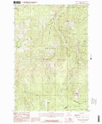
Editions of this 1985 Bison Mountain Map
2 editions found
Other maps of this area

1889 · Helena
USGS Topo · 1:250,000

1893 · Helena
USGS Topo · 1:250,000

1899 · Boulder
USGS Topo · 1:125,000

1899 · Helena
USGS Topo · 1:250,000

1903 · Helena
USGS Topo · 1:250,000

1947 · Butte
USGS Topo · 1:250,000

1954 · Basin
USGS Topo · 1:62,500

1958 · Butte
USGS Topo · 1:250,000

1958 · Avon
USGS Topo · 1:62,500

1959 · Deer Lodge
USGS Topo · 1:62,500