
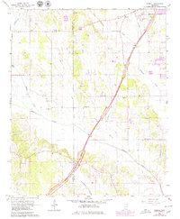
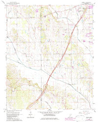
1966 Map of Bissell
USGS Topo · Published 1967About this map
The Natchez Trace Parkway cuts a diagonal path through this 1960s landscape, marking the boundary between the growing outskirts of Tupelo and the rural agricultural communities of western Lee County. Local life centers on a network of small churches and cemeteries, such as Valley Grove Ch, Fellowship Ch, and New Zion Cem, which dot the terrain between the bottomlands of Chiwapa Creek and Coonewah Creek.
Find a feature on this map
36 named features on this map. Tap any name to fly to it.
Don’t see what you’re looking for? This feature index may not catch every label — zoom into the map to look around manually.
Map Details
Editions of this 1966 Bissell Map
3 editions found
Other maps of this area

1921 · Tupelo
USGS Topo · 1:48,000

1923 · Tupelo
USGS Topo · 1:62,500

1955 · Sherman
USGS Topo · 1:62,500

1956 · Tupelo
USGS Topo · 1:250,000

1958 · Tupelo
USGS Topo · 1:250,000

1966 · Shannon
USGS Topo · 1:24,000

1966 · Troy NW
USGS Topo · 1:24,000

1966 · Troy SE
USGS Topo · 1:24,000

1966 · Verona
USGS Topo · 1:24,000

1966 · Troy
USGS Topo · 1:24,000