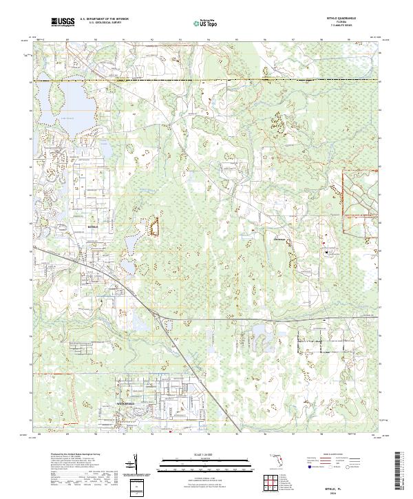
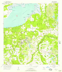
2024 Map of Bithlo
USGS Topo · Published 2024About this map
Bithlo and the neighboring settlement of Christmas anchor this contemporary survey of eastern Orange County, where residential growth meets vast wetlands and preservation lands. The landscape is defined by its water systems, including Tootoosahatchee Creek and Christmas Creek, which drain the low-lying terrain near the Seminole and Orange County line. The transition from older road networks like Old State Rd 50 and Old Cheney Hwy to newer planned communities like Wedgefield illustrates the evolving character of this Florida corridor.
Find a feature on this map
32 named features on this map. Tap any name to fly to it.
Don’t see what you’re looking for? This feature index may not catch every label — zoom into the map to look around manually.
Map Details
Editions of this 2024 Bithlo Map
This is the sole edition of this map. No revisions or reprints were ever made.
Other maps of this area
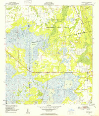
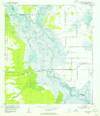
1950 · Aurantia
USGS Topo · 1:24,000
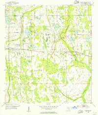
1953 · Narcoossee NE
USGS Topo · 1:24,000
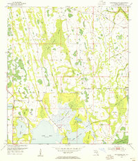
1953 · Geneva
USGS Topo · 1:24,000
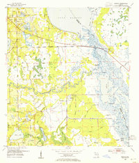
1953 · Titusville SW
USGS Topo · 1:24,000
1953 · Oviedo SW
USGS Topo · 1:24,000
1953 · Lake Poinsett NW
USGS Topo · 1:24,000
1953 · Narcoossee NW
USGS Topo · 1:24,000
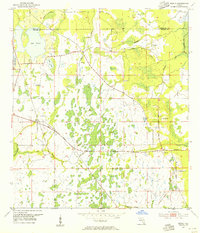
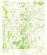
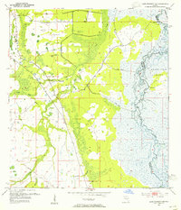
1953 · Bithlo
USGS Topo · 1:24,000

1955 · Orlando
USGS Topo · 1:250,000
1956 · Oviedo
USGS Topo · 1:24,000