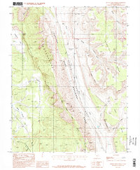
1987 Map of Bitter Creek Divide
USGS Topo · Published 1987About this map
The Waterpocket Fold dominates this mid-1980s landscape, illustrating a massive monocline that defines the geography of Capitol Reef National Park. The topography is characterized by dramatic elevation shifts across the Circle Cliffs and onto high plateaus like Tarantula Mesa. This era of mapping documents the primitive access points within the park, including 4wd routes and the notable Strike Valley Overlook, which provides a vantage point over the tilted rock layers. Natural water sources such as Brinkerhof Spring and drainage systems like Halls Creek and Upper Muley Twist Canyon are mapped alongside distinct geologic features like the Onion Beds and Oyster Shell Reef. The map captures a transition between the desert flats and the rising mesa walls of Swap Mesa and Studhorse Peaks.
Find a feature on this map
25 named features on this map. Tap any name to fly to it.
Don’t see what you’re looking for? This feature index may not catch every label — zoom into the map to look around manually.
Map Details
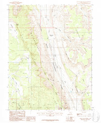
Editions of this 1987 Bitter Creek Divide Map
2 editions found
Other maps of this area

1885 · San Rafael
USGS Topo · 1:250,000

1885 · Fish Lake
USGS Topo · 1:250,000

1886 · Escalante
USGS Topo · 1:250,000

1886 · Henry Mountains
USGS Topo · 1:250,000

1892 · Henry Mountains
USGS Topo · 1:250,000

1896 · Fish Lake
USGS Topo · 1:250,000

1952 · Notom 4 SE
USGS Topo · 1:24,000

1952 · Notom 4 SW
USGS Topo · 1:24,000

1952 · Notom
USGS Topo · 1:62,500

1953 · Mt Pennell
USGS Topo · 1:62,500