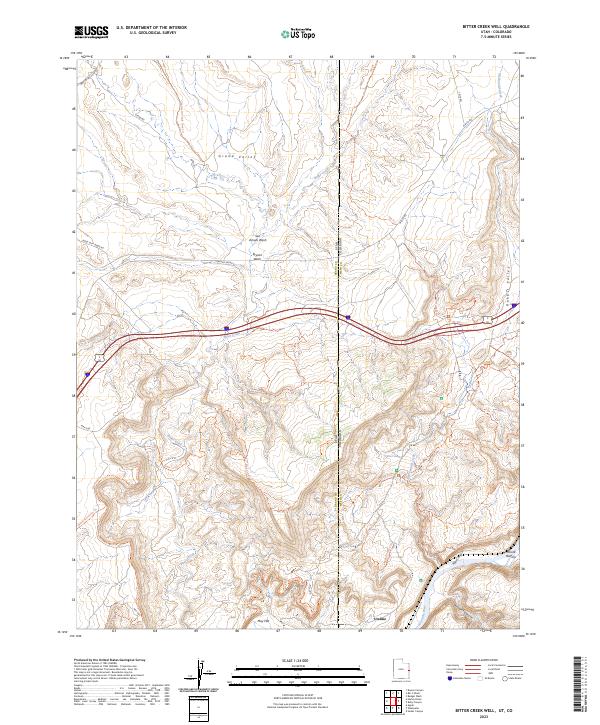
2023 Map of Bitter Creek Well
USGS Topo · Published 2023About this map
Stateline geography defines this high desert landscape where the borders of Utah and Colorado meet at the transition from Grand Valley into the canyonlands. The drainage of Bitter Creek and its tributaries, including San Arroyo Wash and Bryson Wash, carve through the terrain north of the Colorado River. Small settlements and historic waypoints like Utaline, Bryson, and Moore Bottom dot the map, providing reference points in an area dominated by intricate topographical features and recreational pathways.
Find a feature on this map
43 named features on this map. Tap any name to fly to it.
Don’t see what you’re looking for? This feature index may not catch every label — zoom into the map to look around manually.
Map Details
Editions of this 2023 Bitter Creek Well Map
This is the sole edition of this map. No revisions or reprints were ever made.
Other maps of this area

1885 · East Tavaputs
USGS Topo · 1:250,000

1954 · Westwater 4 SW
USGS Topo · 1:24,000

1956 · Westwater 4 SE
USGS Topo · 1:24,000

1956 · Grand Junction
USGS Topo · 1:250,000

1959 · Grand Junction
USGS Topo · 1:250,000

1960 · Grand Junction
USGS Topo · 1:250,000

1962 · Grand Junction
USGS Topo · 1:250,000

1964 · Grand Junction
USGS Topo · 1:250,000

1965 · Grand Junction
USGS Topo · 1:250,000

1968 · Badger Wash
USGS Topo · 1:24,000