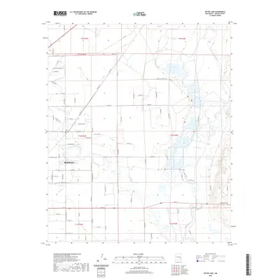
2020 Map of Bitter Lake
USGS Topo · Published 2020About this map
Bitter Lake and its surrounding wetlands dominate the hydrology of this Chaves County landscape, where the Pecos River and Lost River converge in a complex of alkali flats and open water. The northeastern edges of Roswell extend into the frame, showing the transition from urban streets like E 19th St and E College Blvd to the rural plains. For local historians, the Saint Marys Cem serves as a significant landmark just east of the city limits. The terrain is marked by significant elevation changes at Comanche Hill and the winding course of the Rio Hondo. This survey illustrates the intricate network of water management and natural drainage systems, including Middle Berrendo Cr and the southern Chain Lakes, which are vital to the area's geography and history.
Find a feature on this map
82 named features on this map. Tap any name to fly to it.
Don’t see what you’re looking for? This feature index may not catch every label — zoom into the map to look around manually.
Map Details
Editions of this 2020 Bitter Lake Map
This is the sole edition of this map. No revisions or reprints were ever made.
Other maps of this area

1949 · Roswell North
USGS Topo · 1:24,000

1949 · Roswell South
USGS Topo · 1:24,000

1950 · Comanche Spring
USGS Topo · 1:24,000

1950 · Bottomless Lakes
USGS Topo · 1:24,000

1950 · South Spring
USGS Topo · 1:24,000

1950 · Bitter Lake
USGS Topo · 1:24,000

1955 · Roswell
USGS Topo · 1:250,000

1958 · Roswell
USGS Topo · 1:250,000

1962 · Roswell
USGS Topo · 1:250,000
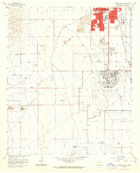
1962 · Roswell South
USGS Topo · 1:24,000