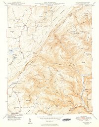
1949 Map of Bittinger
USGS Topo · Published 1949About this map
The Casselman River and Savage River headwaters dominate this 1940s survey of Garrett County, Maryland, where the rural community of Bittinger serves as a central point of settlement. The landscape is defined by the massive ridges of Meadow Mountain and Big Savage Mtn, which frame a territory of scattered mountain schools and remote churches. Public lands are well-established here, with the Savage River State Forest covering significant acreage.
Find a feature on this map
68 named features on this map. Tap any name to fly to it.
Don’t see what you’re looking for? This feature index may not catch every label — zoom into the map to look around manually.
Map Details
Editions of this 1949 Bittinger Map
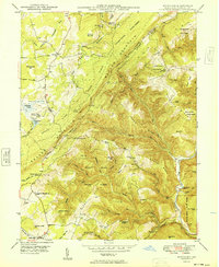
2 editions found
Other maps of this area

1895 · Piedmont
USGS Topo · 1:125,000

1899 · Grantsville
USGS Topo · 1:62,500

1899 · Oakland
USGS Topo · 1:62,500

1900 · Accident
USGS Topo · 1:62,500

1900 · Oakland
USGS Topo · 1:62,500

1904 · Grantsville
USGS Topo · 1:62,500

1919 · Elk Garden
USGS Topo · 1:48,000

1920 · Elk Garden
USGS Topo · 1:48,000

1922 · Elk Garden
USGS Topo · 1:62,500

1946 · Grantsville
USGS Topo · 1:24,000