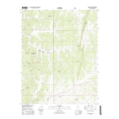
2017 Map of Bixler Ranch
USGS Topo · Published 2017About this map
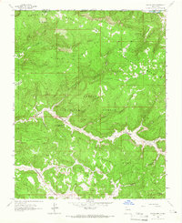
Carson National Forest encompasses a landscape of high mesas and deep canyons in this northern New Mexico quadrangle. The terrain is characterized by massive plateaus like American Mesa and Mesteñas Mesa, which are dissected by numerous drainages including Vaqueros Canyon and Marcial Canyon. This area within the San Juan Basin is dotted with essential water features such as Mud Spring and several tanks, including Augustine Tank and Preacher Tank, reflecting the arid environment's dependence on seasonal catchments.
Find a feature on this map
40 named features on this map. Tap any name to fly to it.
Don’t see what you’re looking for? This feature index may not catch every label — zoom into the map to look around manually.
Map Details
Editions of this 2017 Bixler Ranch Map
This is the sole edition of this map. No revisions or reprints were ever made.
Other maps of this area

1889 · Largo
USGS Topo · 1:250,000

1895 · Largo
USGS Topo · 1:250,000

1954 · Aztec
USGS Topo · 1:250,000

1958 · Aztec
USGS Topo · 1:250,000

1962 · Aztec
USGS Topo · 1:250,000
1963 · Espinosa Ranch
USGS Topo · 1:24,000

1963 · Gobernador
USGS Topo · 1:24,000
1963 · Cement Lake
USGS Topo · 1:24,000
1963 · John Mills Lake
USGS Topo · 1:24,000
1963 · Bancos Mesa
USGS Topo · 1:24,000