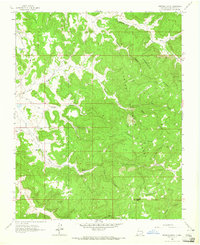
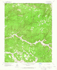
1963 Map of Espinosa Ranch
USGS Topo · Published 1965About this map
Espinosa Ranch sits at the heart of this high-desert landscape in Rio Arriba County, where the rugged topography of the Carson National Forest is defined by a complex network of canyons and mesas. Mapping from the early 1960s reveals a terrain dominated by Cabresto Mesa and Mesteñas Mesa, punctuated by several Gas Wells and a pipeline that signal the era's energy extraction within the forest boundaries. Water sources are scarce but vital, marked by the presence of Laguna Seca and Manuel Spring. The map documents a system of travel through these breaks, from the drainage of American Canyon to the jeep trail and unimproved roads that trace the floor of La Jara Canyon. Rising above the surrounding breaks, Mesteñas Peak serves as a primary landmark in this remote section of northern New Mexico.
Find a feature on this map
26 named features on this map. Tap any name to fly to it.
Don’t see what you’re looking for? This feature index may not catch every label — zoom into the map to look around manually.
Map Details
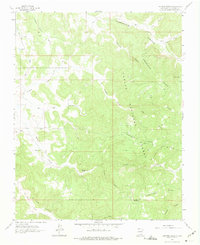
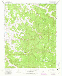
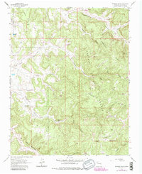
Editions of this 1963 Espinosa Ranch Map
4 editions found
Other maps of this area

1889 · Largo
USGS Topo · 1:250,000

1895 · Largo
USGS Topo · 1:250,000

1954 · Rosa
USGS Topo · 1:24,000

1954 · Gomez Ranch
USGS Topo · 1:24,000

1954 · Aztec
USGS Topo · 1:250,000

1958 · Aztec
USGS Topo · 1:250,000

1962 · Aztec
USGS Topo · 1:250,000

1963 · Fourmile Canyon
USGS Topo · 1:24,000

1963 · Gobernador
USGS Topo · 1:24,000
1963 · Bancos Mesa
USGS Topo · 1:24,000