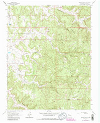
1963 Map of Espinosa Ranch
USGS Topo · Published 1983About this map
Espinosa Ranch sits at the heart of this high-altitude landscape within the Carson National Forest of Rio Arriba County. The topography is defined by a series of prominent elevated mesas including Laguna Seca Mesa, Cabresto Mesa, and Mesteñas Mesa, which are deeply incised by complex drainage systems like Cabresto Canyon and La Jara Canyon.
Find a feature on this map
29 named features on this map. Tap any name to fly to it.
Don’t see what you’re looking for? This feature index may not catch every label — zoom into the map to look around manually.
Map Details
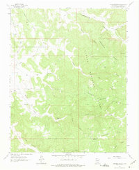
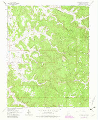
Editions of this 1963 Espinosa Ranch Map
4 editions found
Other maps of this area

1889 · Largo
USGS Topo · 1:250,000

1895 · Largo
USGS Topo · 1:250,000

1954 · Rosa
USGS Topo · 1:24,000

1954 · Gomez Ranch
USGS Topo · 1:24,000

1954 · Aztec
USGS Topo · 1:250,000

1958 · Aztec
USGS Topo · 1:250,000

1962 · Aztec
USGS Topo · 1:250,000

1963 · Fourmile Canyon
USGS Topo · 1:24,000
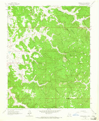
1963 · Espinosa Ranch
USGS Topo · 1:24,000

1963 · Gobernador
USGS Topo · 1:24,000