
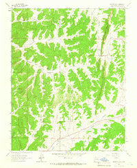
1963 Map of Gobernador
USGS Topo · Published 1965About this map
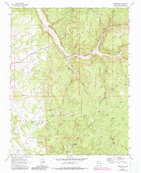
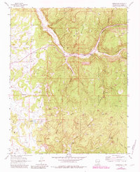
Gobernador (Site) occupies a central position in this high-altitude landscape of Rio Arriba County, where the high mesas and deep canyons of the San Juan Basin meet. This mid-century record identifies small settlements like Frances and the Russell Angell Ranch alongside a network of springs essential to life in this arid environment, including Bubbling Spring, Skousen Spring, and Amarante Spring. Much of the eastern terrain falls within the Carson National Forest, characterized by the complex geography of La Jara Canyon and Vaqueros Canyon.
Find a feature on this map
33 named features on this map. Tap any name to fly to it.
Don’t see what you’re looking for? This feature index may not catch every label — zoom into the map to look around manually.
Map Details
Editions of this 1963 Gobernador Map
3 editions found
Other maps of this area

1889 · Largo
USGS Topo · 1:250,000

1895 · Largo
USGS Topo · 1:250,000

1954 · Gomez Ranch
USGS Topo · 1:24,000

1954 · Aztec
USGS Topo · 1:250,000

1958 · Aztec
USGS Topo · 1:250,000

1962 · Aztec
USGS Topo · 1:250,000

1963 · Fourmile Canyon
USGS Topo · 1:24,000
1963 · Espinosa Ranch
USGS Topo · 1:24,000
1963 · Pine Lake
USGS Topo · 1:24,000
1963 · Bixler Ranch
USGS Topo · 1:24,000