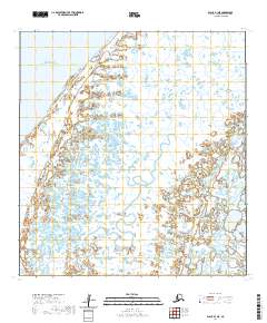
2020 Map of Black B-1 NE
USGS Topo · Published 2020About this map
The Bering Sea coastline defines this portion of the Kusilvak Census Area, where the land dissolves into a complex network of wetlands and tidal channels. This landscape is dominated by the Kianaglevik Pass, a major waterway cutting through the marshy interior. The lack of any named settlements, roads, or man-made structures on this 2020 map underscores the isolation of the Yukon-Kuskokwim Delta region. Instead, the geography is a testament to the fluid boundary between land and water, with countless unnamed ponds and drainage patterns characteristic of the Alaskan tundra. The grid lines for T28N R86W and surrounding townships provide the only formal human overlay on this otherwise untouched coastal environment.
Find a feature on this map
8 named features on this map. Tap any name to fly to it.
Don’t see what you’re looking for? This feature index may not catch every label — zoom into the map to look around manually.
Map Details
Editions of this 2020 Black B-1 NE Map
This is the sole edition of this map. No revisions or reprints were ever made.
Other maps of this area

1951 · Black
USGS Topo · 1:250,000

1952 · Kwiguk
USGS Topo · 1:250,000
1952 · Black C-1
USGS Topo · 1:63,360

1952 · Black B-1
USGS Topo · 1:63,360

1952 · Kwiguk C-6
USGS Topo · 1:63,360

1952 · Kwiguk B-6
USGS Topo · 1:63,360
2020 · Kwiguk C-6 SW
USGS Topo · 1:25,000
2020 · Kwiguk B-6 NW
USGS Topo · 1:25,000
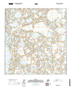
2020 · Kwiguk B-6 SW
USGS Topo · 1:25,000
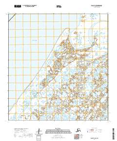
2020 · Black B-1 SW
USGS Topo · 1:25,000