
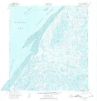
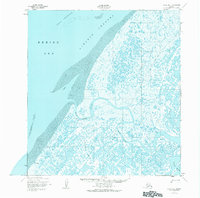
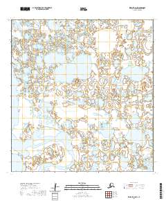
1952 Map of Black B-1
USGS Topo · Published 1958About this map
The Black River meanders through a complex network of coastal wetlands and tidal flats along the Bering Sea coast in this mid-century survey. Small settlements and points of seasonal habitation, including Black and Kwikak, are situated along the riverbanks, providing insight into the remote living patterns of the region. The landscape is defined by its shifting aquatic boundaries, from the wide Taku Channel and Acharon Channel to the many uncounted ponds and sloughs that characterize the delta terrain.
Find a feature on this map
14 named features on this map. Tap any name to fly to it.
Don’t see what you’re looking for? This feature index may not catch every label — zoom into the map to look around manually.
Map Details
Editions of this 1952 Black B-1 Map
3 editions found
Other maps of this area

1951 · Black
USGS Topo · 1:250,000

1952 · Kwiguk
USGS Topo · 1:250,000

1952 · Black A-2
USGS Topo · 1:63,360
1952 · Black C-1
USGS Topo · 1:63,360

1952 · Black A-1
USGS Topo · 1:63,360

1952 · Kwiguk C-6
USGS Topo · 1:63,360

1952 · Kwiguk B-6
USGS Topo · 1:63,360

1952 · Kwiguk A-6
USGS Topo · 1:63,360
2020 · Kwiguk C-6 SW
USGS Topo · 1:25,000
2020 · Kwiguk A-6 NW
USGS Topo · 1:25,000