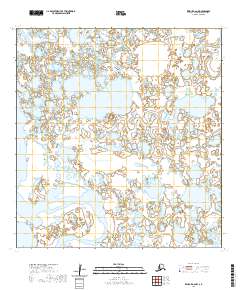
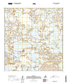
2020 Map of Kwiguk A-6 NW
USGS Topo · Published 2020About this map
New Knockhock sits along the winding course of the Black River in this survey of the Yukon Delta region. The landscape is defined by a dense network of wetlands and interconnected waterways typical of the Kusilvak Census Area, including the tidal influence of Anakshek Pass. While the terrain appears largely unsettled, the presence of New Knockhock indicates a specific point of human activity and seasonal subsistence within the labyrinth of sloughs. The map provides a precise look at the township and range divisions, such as t24n r85w, which help orient researchers to specific parcels of this vast alluvial plain as it was documented in 2020.
Find a feature on this map
9 named features on this map. Tap any name to fly to it.
Don’t see what you’re looking for? This feature index may not catch every label — zoom into the map to look around manually.
Map Details
Editions of this 2020 Kwiguk A-6 NW Map
This is the sole edition of this map. No revisions or reprints were ever made.
Other maps of this area

1951 · Black
USGS Topo · 1:250,000

1952 · Kwiguk
USGS Topo · 1:250,000

1952 · Black A-1
USGS Topo · 1:63,360

1952 · Black B-1
USGS Topo · 1:63,360

1952 · Kwiguk B-6
USGS Topo · 1:63,360

1952 · Kwiguk A-6
USGS Topo · 1:63,360
2020 · Kwiguk B-6 SW
USGS Topo · 1:25,000
2020 · Kwiguk A-6 SE
USGS Topo · 1:25,000
2020 · Kwiguk A-6 SW
USGS Topo · 1:25,000
2020 · Kwiguk A-6 NE
USGS Topo · 1:25,000