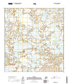
2020 Map of Kwiguk A-6 NE
USGS Topo · Published 2020About this map
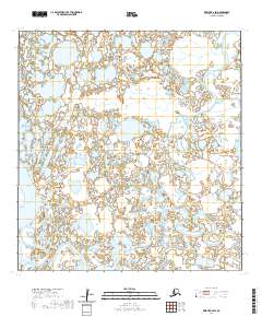
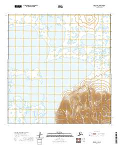
The Ponglevik River winds through this section of the Kusilvak Census Area in western Alaska. Mapped in 2020, the sheet illustrates a landscape shaped by complex hydrography and wetland systems common to the Yukon-Kuskokwim Delta. While the area lacks developed settlements, the precise topographic data documents the intricate watercourses and myriad small lakes across the region. Surveyed at a 1:25,000 scale, the map is useful for understanding the hydrologic patterns and land divisions within the T25n R83w and T24n R83w townships. Researchers examining environmental changes or specific land allotments in Alaska can use these detailed contours and water boundaries to track local shifts over time.
Find a feature on this map
5 named features on this map. Tap any name to fly to it.
Don’t see what you’re looking for? This feature index may not catch every label — zoom into the map to look around manually.
Map Details
Editions of this 2020 Kwiguk A-6 NE Map
This is the sole edition of this map. No revisions or reprints were ever made.
Other maps of this area

1952 · Kwiguk
USGS Topo · 1:250,000

1952 · Kwiguk A-5
USGS Topo · 1:63,360

1952 · Kwiguk B-6
USGS Topo · 1:63,360

1952 · Kwiguk A-6
USGS Topo · 1:63,360

1952 · Kwiguk B-5
USGS Topo · 1:63,360
2020 · Kwiguk B-5 SW
USGS Topo · 1:25,000
2020 · Kwiguk A-5 SW
USGS Topo · 1:25,000
2020 · Kwiguk A-6 NW
USGS Topo · 1:25,000
2020 · Kwiguk B-6 SW
USGS Topo · 1:25,000
2020 · Kwiguk A-6 SE
USGS Topo · 1:25,000