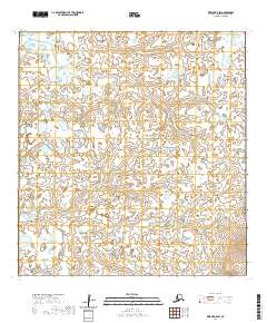
2020 Map of Kwiguk B-5 SW
USGS Topo · Published 2020About this map
Anakshek Pass cuts through this water-rich expanse of the Kusilvak Census Area, illustrating the complex, shifting hydrology typical of the Yukon-Kuskokwim Delta. This 2020 map documents the braided nature of the landscape, where the Ponglevik River flows across a terrain defined by countless small ponds and low-lying wetlands. The grid of the Public Land Survey System, including t26n r82w and t25n r81w, is superimposed over a landscape where solid ground is at a premium and waterways serve as the primary conduits for movement. The map provides a high-resolution look at the subtle elevations and drainage patterns that govern this remote region of Alaska.
Find a feature on this map
6 named features on this map. Tap any name to fly to it.
Don’t see what you’re looking for? This feature index may not catch every label — zoom into the map to look around manually.
Map Details
Editions of this 2020 Kwiguk B-5 SW Map
This is the sole edition of this map. No revisions or reprints were ever made.
Other maps of this area

1952 · Kwiguk
USGS Topo · 1:250,000

1952 · Kwiguk A-5
USGS Topo · 1:63,360

1952 · Kwiguk B-6
USGS Topo · 1:63,360

1952 · Kwiguk A-6
USGS Topo · 1:63,360

1952 · Kwiguk B-5
USGS Topo · 1:63,360
2020 · Kwiguk B-6 NE
USGS Topo · 1:25,000
2020 · Kwiguk B-5 NE
USGS Topo · 1:25,000
2020 · Kwiguk B-5 NW
USGS Topo · 1:25,000
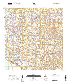
2020 · Kwiguk A-5 NW
USGS Topo · 1:25,000
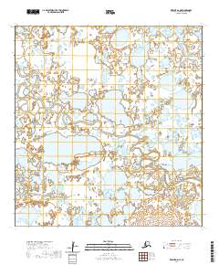
2020 · Kwiguk A-6 NE
USGS Topo · 1:25,000