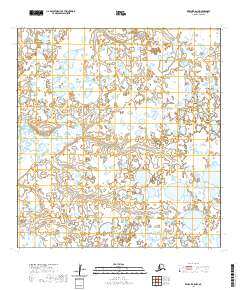
2020 Map of Kwiguk B-5 NW
USGS Topo · Published 2020About this map
Igokluk Slough winds through this low-lying landscape in the Kusilvak Census Area, defining the drainage patterns of a region characterized by intricate wetlands and small ponds. The 2020 U.S. Geological Survey data illustrates the complex hydrography typical of the Yukon Delta, where subtle elevation changes dictate the flow of water across the tundra. Because the terrain is so heavily dominated by water and seasonal change, the map highlights the lack of established roads, focusing instead on the natural survey boundaries and the persistent path of the slough as it cuts through the landscape. This sheet provides researchers with a detailed look at the shifting boundaries between land and water in a part of Alaska where the environment remains the primary architect of the geography.
Find a feature on this map
7 named features on this map. Tap any name to fly to it.
Don’t see what you’re looking for? This feature index may not catch every label — zoom into the map to look around manually.
Map Details
Editions of this 2020 Kwiguk B-5 NW Map
This is the sole edition of this map. No revisions or reprints were ever made.
Other maps of this area

1952 · Kwiguk
USGS Topo · 1:250,000

1952 · Kwiguk C-6
USGS Topo · 1:63,360

1952 · Kwiguk B-6
USGS Topo · 1:63,360

1952 · Kwiguk B-5
USGS Topo · 1:63,360

1952 · Kwiguk C-5
USGS Topo · 1:63,360
2020 · Kwiguk B-6 NE
USGS Topo · 1:25,000
2020 · Kwiguk C-6 SE
USGS Topo · 1:25,000
2020 · Kwiguk B-5 SW
USGS Topo · 1:25,000
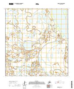
2020 · Kwiguk C-5 SE
USGS Topo · 1:25,000
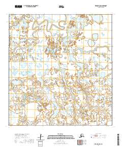
2020 · Kwiguk C-5 SW
USGS Topo · 1:25,000