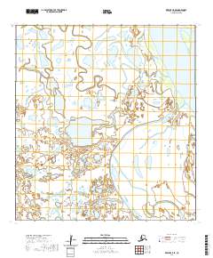
2020 Map of Kwiguk C-5 SE
USGS Topo · Published 2020About this map
Yukon River waters dominate the eastern margins of this landscape within the Kusilvak Census Area, defining a vast riparian environment where the mighty river meets a complex network of seasonal wetlands and smaller channels. The terrain is characterized by the winding path of Pektotolik Slough, which meanders through the southern sections of the quadrangle. This 2020 U.S. Geological Survey study illustrates a dynamic delta-like landscape where water and land are in constant flux. The absence of permanent roads or established settlements highlights the remote nature of this region, where traditional navigation likely follows the natural corridors provided by the river and its numerous sloughs.
Find a feature on this map
7 named features on this map. Tap any name to fly to it.
Don’t see what you’re looking for? This feature index may not catch every label — zoom into the map to look around manually.
Map Details
Editions of this 2020 Kwiguk C-5 SE Map
This is the sole edition of this map. No revisions or reprints were ever made.
Other maps of this area

1952 · Kwiguk
USGS Topo · 1:250,000

1952 · Kwiguk B-5
USGS Topo · 1:63,360

1952 · Kwiguk C-4
USGS Topo · 1:63,360

1952 · Kwiguk C-5
USGS Topo · 1:63,360

1952 · Kwiguk B-4
USGS Topo · 1:63,360
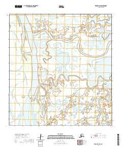
2020 · Kwiguk C-4 NW
USGS Topo · 1:25,000
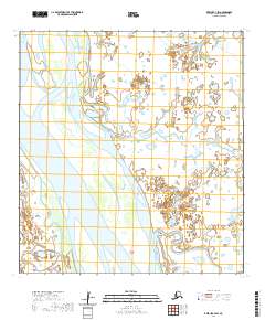
2020 · Kwiguk C-4 SW
USGS Topo · 1:25,000
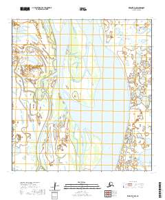
2020 · Kwiguk B-4 NW
USGS Topo · 1:25,000
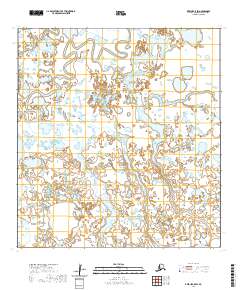
2020 · Kwiguk C-5 SW
USGS Topo · 1:25,000
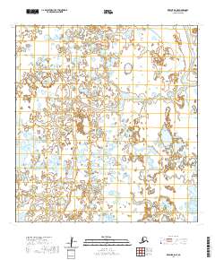
2020 · Kwiguk B-5 NE
USGS Topo · 1:25,000