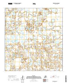
2020 Map of Kwiguk C-5 SW
USGS Topo · Published 2020About this map
Akularak Pass defines the hydrological character of this portion of the Yukon-Kuskokwim Delta, winding through an intricate network of wetlands and small lakes. This 2020 survey illustrates the complex, fluid landscape of the Kusilvak Census Area, where the terrain is dominated by water rather than permanent human settlements. The lack of roads or towns emphasizes the reliance on these waterways for navigation and subsistence in the Alaskan bush. The map provides a high-resolution view of the shifting shorelines and ephemeral water bodies across townships t29n r81w and t28n r81w, serving as a foundational record of the delta's current topography.
Find a feature on this map
5 named features on this map. Tap any name to fly to it.
Don’t see what you’re looking for? This feature index may not catch every label — zoom into the map to look around manually.
Map Details
Editions of this 2020 Kwiguk C-5 SW Map
This is the sole edition of this map. No revisions or reprints were ever made.
Other maps of this area

1952 · Kwiguk
USGS Topo · 1:250,000

1952 · Kwiguk C-6
USGS Topo · 1:63,360

1952 · Kwiguk B-6
USGS Topo · 1:63,360

1952 · Kwiguk B-5
USGS Topo · 1:63,360

1952 · Kwiguk C-5
USGS Topo · 1:63,360
2020 · Kwiguk B-6 NE
USGS Topo · 1:25,000
2020 · Kwiguk C-6 SE
USGS Topo · 1:25,000
2020 · Kwiguk C-5 SE
USGS Topo · 1:25,000
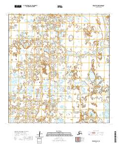
2020 · Kwiguk B-5 NE
USGS Topo · 1:25,000
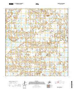
2020 · Kwiguk B-5 NW
USGS Topo · 1:25,000