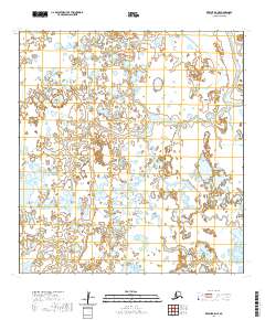
2020 Map of Kwiguk B-5 NE
USGS Topo · Published 2020About this map
The low-lying wetlands of the Kusilvak Census Area define this landscape, where a dense network of ponds and saturated terrain dominates the interior. The only major named waterway on this sheet is Pektotolik Slough, which cuts through the northeastern corner, indicating the slow-moving, meandering nature of the region's drainage patterns. The lack of roads, structures, or established settlements emphasizes the seasonal and isolated character of this environment. Surveyed under the Public Land Survey System, the map covers portions of townships including t28n r81w, t27n r80w, and t26n r79w, providing a clear record of the jurisdictional grid over this remote Alaskan tundra.
Find a feature on this map
10 named features on this map. Tap any name to fly to it.
Don’t see what you’re looking for? This feature index may not catch every label — zoom into the map to look around manually.
Map Details
Editions of this 2020 Kwiguk B-5 NE Map
This is the sole edition of this map. No revisions or reprints were ever made.
Other maps of this area

1952 · Kwiguk
USGS Topo · 1:250,000

1952 · Kwiguk B-5
USGS Topo · 1:63,360

1952 · Kwiguk C-4
USGS Topo · 1:63,360

1952 · Kwiguk C-5
USGS Topo · 1:63,360

1952 · Kwiguk B-4
USGS Topo · 1:63,360
2020 · Kwiguk C-4 SW
USGS Topo · 1:25,000
2020 · Kwiguk B-4 SW
USGS Topo · 1:25,000
2020 · Kwiguk B-4 NW
USGS Topo · 1:25,000
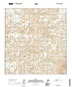
2020 · Kwiguk B-5 SW
USGS Topo · 1:25,000
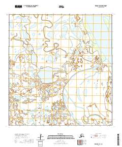
2020 · Kwiguk C-5 SE
USGS Topo · 1:25,000