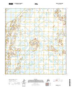
2020 Map of Kwiguk C-6 SE
USGS Topo · Published 2020About this map
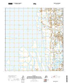
The Yukon River defines the northwest corner of this landscape in the Kusilvak Census Area, where a labyrinth of wetlands and watercourses characterizes the river delta environment. The terrain is marked by intricate braiding and the slow movement of water through channels like Kanelik Pass and Akularak Pass. These waterways are central to the region's geography, dictating the patterns of seasonal movement and traditional land use within the survey boundaries of T29N R82W and T28N R82W. The map documents a fragile and shifting aquatic ecosystem, where the distinction between land and water is constantly redefined by the river's flow.
Find a feature on this map
7 named features on this map. Tap any name to fly to it.
Don’t see what you’re looking for? This feature index may not catch every label — zoom into the map to look around manually.
Map Details
Editions of this 2020 Kwiguk C-6 SE Map
This is the sole edition of this map. No revisions or reprints were ever made.
Other maps of this area

1952 · Kwiguk
USGS Topo · 1:250,000

1952 · Kwiguk C-6
USGS Topo · 1:63,360

1952 · Kwiguk B-6
USGS Topo · 1:63,360

1952 · Kwiguk B-5
USGS Topo · 1:63,360

1952 · Kwiguk C-5
USGS Topo · 1:63,360
2020 · Kwiguk B-6 NE
USGS Topo · 1:25,000
2020 · Kwiguk C-6 SW
USGS Topo · 1:25,000
2020 · Kwiguk B-6 NW
USGS Topo · 1:25,000
2020 · Kwiguk C-6 NW
USGS Topo · 1:25,000
2020 · Kwiguk C-5 SW
USGS Topo · 1:25,000