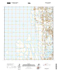
2020 Map of Kwiguk C-6 NW
USGS Topo · Published 2020About this map
The Bering Sea coastline within the Kusilvak Census Area defines this 2020 topographic survey of a complex Alaskan delta landscape. The area is characterized by a dense network of interconnected waterways, including Elukozuk Slough and Kaluchagun Slough, which weave around prominent landforms like Kaluchagun Island. These intricate tidal channels, such as the Nurukomarot Channel and Kwikoktuk Pass, illustrate the dynamic nature of the Yukon-Kuskokwim Delta, where land and water constantly shift. Researchers can examine the specific geographic positioning of Blind Island relative to Blind Slough and Caseys Channel. This map provides a technical foundation for understanding the hydrology and remote coastal reaches of western Alaska in the early 21st century.
Find a feature on this map
14 named features on this map. Tap any name to fly to it.
Don’t see what you’re looking for? This feature index may not catch every label — zoom into the map to look around manually.
Map Details
Editions of this 2020 Kwiguk C-6 NW Map
This is the sole edition of this map. No revisions or reprints were ever made.
Other maps of this area

1951 · Black
USGS Topo · 1:250,000

1952 · Kwiguk
USGS Topo · 1:250,000
1952 · Black C-1
USGS Topo · 1:63,360

1952 · Kwiguk C-6
USGS Topo · 1:63,360

1952 · Kwiguk D-6
USGS Topo · 1:63,360
2020 · Kwiguk C-6 SE
USGS Topo · 1:25,000
2020 · Kwiguk C-6 SW
USGS Topo · 1:25,000
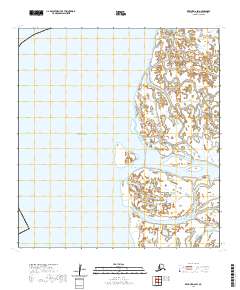
2020 · Kwiguk D-6 SW
USGS Topo · 1:25,000
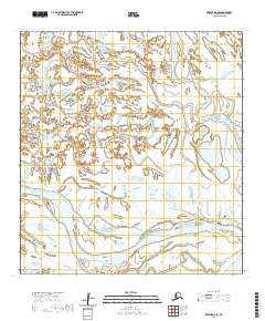
2020 · Kwiguk D-6 SE
USGS Topo · 1:25,000
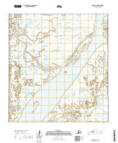
2020 · Kwiguk C-6 NE
USGS Topo · 1:25,000