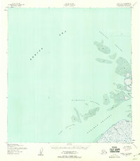
1952 Map of Black C-1
USGS Topo · Published 1958About this map
The expansive Bering Sea meets the intricate river distributaries of the Yukon-Kuskokwim Delta on this 1952 topographic study. This coastal landscape is defined by its shifting aquatic geography, where tidal influence creates a complex network of mud flats and shoals. The settlement of Waklarok sits positioned near the mouth of Klakshonuk Pass, representing a rare point of human habitation in this dynamic environment. Large-scale waterways including the Kwikluak Channel, Kutmuknuk Channel, and Acharon Channel demonstrate the power of river discharge as it carves paths through the soft silt of the shoreline. The Taku Channel further highlights the hydraulic complexity of this region, providing a detailed look at the hydrology of the Alaska-Second Judicial Division before modern development.
Find a feature on this map
9 named features on this map. Tap any name to fly to it.
Don’t see what you’re looking for? This feature index may not catch every label — zoom into the map to look around manually.
Map Details
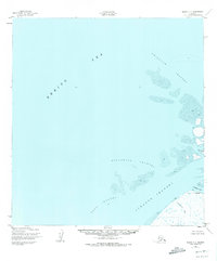
Editions of this 1952 Black C-1 Map
2 editions found
Other maps of this area

1951 · Black
USGS Topo · 1:250,000

1952 · Kwiguk
USGS Topo · 1:250,000

1952 · Black B-1
USGS Topo · 1:63,360

1952 · Kwiguk C-6
USGS Topo · 1:63,360

1952 · Kwiguk B-6
USGS Topo · 1:63,360

1952 · Kwiguk D-6
USGS Topo · 1:63,360
2020 · Kwiguk C-6 SW
USGS Topo · 1:25,000
2020 · Kwiguk D-6 SW
USGS Topo · 1:25,000
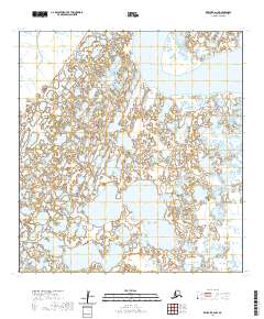
2020 · Kwiguk B-6 NW
USGS Topo · 1:25,000
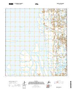
2020 · Kwiguk C-6 NW
USGS Topo · 1:25,000