
1952 Map of Kwiguk C-6
USGS Topo · Published 1959About this map
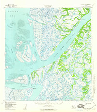
Yukon River waters dominate this coastal landscape where the massive delta meets the Bering Sea. In the early 1950s, the region was defined by a complex network of distributaries and sloughs, including Alakanuk Pass and Kwemeluk Pass. Settlements like Alakanuk and Akulurak served as central points in a terrain of mudflats and shifting islands, such as Munson Island. The mapping of an Airport at Alakanuk and a Winter Trail snaking across the marshes highlights the unique transportation challenges of the Yukon-Kuskokwim Delta. Local industry and habitation are evidenced by Cabins at Anuzukanuk Pass and named landmarks like Sheldons Point and Tin Can Point. This survey captures the intricate hydrology of the delta before modern development or significant environmental shifts altered these specific channels.
Find a feature on this map
48 named features on this map. Tap any name to fly to it.
Don’t see what you’re looking for? This feature index may not catch every label — zoom into the map to look around manually.
Map Details
Editions of this 1952 Kwiguk C-6 Map
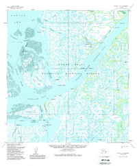
3 editions found
Other maps of this area

1951 · Black
USGS Topo · 1:250,000

1952 · Kwiguk
USGS Topo · 1:250,000
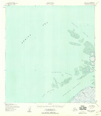
1952 · Black C-1
USGS Topo · 1:63,360

1952 · Black B-1
USGS Topo · 1:63,360

1952 · Kwiguk B-6
USGS Topo · 1:63,360

1952 · Kwiguk B-5
USGS Topo · 1:63,360

1952 · Kwiguk D-6
USGS Topo · 1:63,360

1952 · Kwiguk C-5
USGS Topo · 1:63,360

1952 · Kwiguk D-5
USGS Topo · 1:63,360
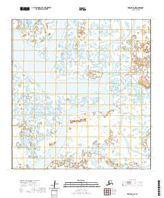
2020 · Kwiguk B-6 NE
USGS Topo · 1:25,000