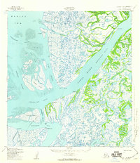
1952 Map of Kwiguk C-6
USGS Topo · Published 1959About this map
The Yukon River (Kwikluak Pass) dominates this coastal landscape where the river meets the Bering Sea through a complex network of passes and channels. In the early 1950s, small settlements and outposts like Kwiguk, Alakanuk, and Akulurak served as vital hubs along these waterways. The map reveals the intricate water-based geography of the delta, including Caseys Channel and Kanelik Pass, which provided the primary means of transport and subsistence for the region.
Find a feature on this map
64 named features on this map. Tap any name to fly to it.
Don’t see what you’re looking for? This feature index may not catch every label — zoom into the map to look around manually.
Map Details
Editions of this 1952 Kwiguk C-6 Map
3 editions found
Other maps of this area

1951 · Black
USGS Topo · 1:250,000

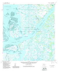
1952 · Kwiguk
USGS Topo · 1:250,000
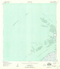
1952 · Black C-1
USGS Topo · 1:63,360

1952 · Black B-1
USGS Topo · 1:63,360

1952 · Kwiguk C-6
USGS Topo · 1:63,360

1952 · Kwiguk B-6
USGS Topo · 1:63,360

1952 · Kwiguk B-5
USGS Topo · 1:63,360

1952 · Kwiguk D-6
USGS Topo · 1:63,360

1952 · Kwiguk C-5
USGS Topo · 1:63,360

1952 · Kwiguk D-5
USGS Topo · 1:63,360