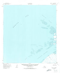
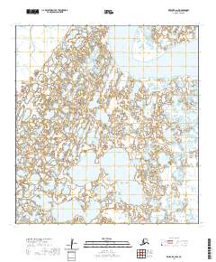
1952 Map of Black C-1
USGS Topo · Published 1973About this map
The Bering Sea dominates the western half of this 1952 Alaskan coastal survey, where the Yukon River delta begins to fragment into a complex network of tidally influenced waterways. The settlement of Waklarok sits near the southeastern shore, positioned at the edge of an intricate landscape of mud flats and shifting passages. Navigation through these coastal waters relied on specific deep-water arteries like the Kwikluak Channel and the Acharon Channel, which carve through the sediment-heavy delta front.
Find a feature on this map
11 named features on this map. Tap any name to fly to it.
Don’t see what you’re looking for? This feature index may not catch every label — zoom into the map to look around manually.
Map Details
Editions of this 1952 Black C-1 Map
2 editions found
Other maps of this area

1951 · Black
USGS Topo · 1:250,000

1952 · Kwiguk
USGS Topo · 1:250,000
1952 · Black C-1
USGS Topo · 1:63,360

1952 · Black B-1
USGS Topo · 1:63,360

1952 · Kwiguk C-6
USGS Topo · 1:63,360

1952 · Kwiguk B-6
USGS Topo · 1:63,360

1952 · Kwiguk D-6
USGS Topo · 1:63,360
2020 · Kwiguk C-6 SW
USGS Topo · 1:25,000
2020 · Kwiguk D-6 SW
USGS Topo · 1:25,000
2020 · Kwiguk B-6 NW
USGS Topo · 1:25,000