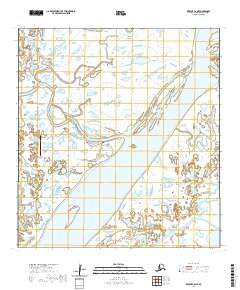
2020 Map of Kwiguk C-6 NE
USGS Topo · Published 2020About this map
Alakanuk sits along the northern banks of the Yukon River within the vast wetlands of the delta, a landscape defined by an intricate network of waterways and shifting sloughs. The settlement is tightly organized along the riverbank, with local navigation facilitated by routes such as River Street, Anderson Street, and Osier Street. This 2020 layout reflects a community deeply integrated with its hydraulic environment, where Dump/Dock Road and the Alakanuk Airport serve as the primary lifelines for transport and logistics.
Find a feature on this map
20 named features on this map. Tap any name to fly to it.
Don’t see what you’re looking for? This feature index may not catch every label — zoom into the map to look around manually.
Map Details
Editions of this 2020 Kwiguk C-6 NE Map
This is the sole edition of this map. No revisions or reprints were ever made.
Other maps of this area

1952 · Kwiguk
USGS Topo · 1:250,000

1952 · Kwiguk C-6
USGS Topo · 1:63,360

1952 · Kwiguk D-6
USGS Topo · 1:63,360

1952 · Kwiguk C-5
USGS Topo · 1:63,360

1952 · Kwiguk D-5
USGS Topo · 1:63,360
2020 · Kwiguk C-6 SE
USGS Topo · 1:25,000
2020 · Kwiguk C-6 SW
USGS Topo · 1:25,000
2020 · Kwiguk D-6 SW
USGS Topo · 1:25,000
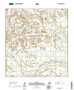
2020 · Kwiguk D-6 SE
USGS Topo · 1:25,000
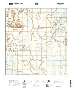
2020 · Kwiguk D-5 SW
USGS Topo · 1:25,000