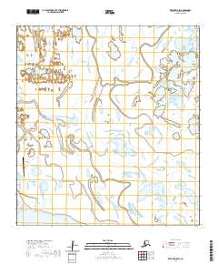
2020 Map of Kwiguk D-5 SW
USGS Topo · Published 2020About this map
Emmonak serves as the primary hub of activity in this Yukon Delta landscape, where the shifting waters of the Yukon River divide into complex distributary channels. The settlement's infrastructure is tied directly to the river and the sky, as seen in the proximity of the Emmonak Airport and the Old Airport Access Road winding through the marshy terrain. The map captures the hydrological complexity of the Kusilvak Census Area, dominated by major waterways like Bugomowik Pass and Kwikluak Pass. These channels, alongside smaller features like Kaoledoly Slough and Kwiguk Pass, dictate the movement and settlement patterns of the region. The landscape is a flat expanse of wetlands and tidal influences, illustrating the unique geography where the Yukon’s freshwater systems meet the coastal environment.
Find a feature on this map
12 named features on this map. Tap any name to fly to it.
Don’t see what you’re looking for? This feature index may not catch every label — zoom into the map to look around manually.
Map Details
Editions of this 2020 Kwiguk D-5 SW Map
This is the sole edition of this map. No revisions or reprints were ever made.
Other maps of this area

1952 · Kwiguk
USGS Topo · 1:250,000

1952 · Kwiguk C-6
USGS Topo · 1:63,360

1952 · Kwiguk D-6
USGS Topo · 1:63,360

1952 · Kwiguk C-5
USGS Topo · 1:63,360

1952 · Kwiguk D-5
USGS Topo · 1:63,360
2020 · Kwiguk D-5 NW
USGS Topo · 1:25,000
2020 · Kwiguk D-6 SE
USGS Topo · 1:25,000
2020 · Kwiguk D-6 NE
USGS Topo · 1:25,000
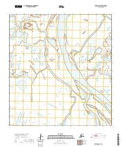
2020 · Kwiguk D-5 SE
USGS Topo · 1:25,000
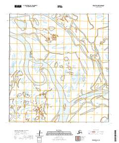
2020 · Kwiguk D-5 NE
USGS Topo · 1:25,000