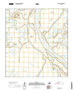
2020 Map of Kwiguk D-5 SE
USGS Topo · Published 2020About this map
Kravaksarak sits along the shifting banks of the Yukon Delta, marking a point of human presence in a landscape defined by an intricate network of moving water. This 2020 map documents the braided channels of the lower river, where the massive Kwikpak Pass dominates the central terrain. The interplay of major arteries and smaller distributaries like Kwikpakak Slough and Takwaklanuk Slough illustrates the complex hydrologic patterns of the Kusilvak Census Area. This environment is characterized by low-lying wetlands and seasonal water level changes, as evidenced by the numerous unnamed ponds and the named outlets of Little Apoon Pass and Nunach Pass in the northeast. The document provides a clear view of the Public Land Survey System grids, showing sections within townships T32N R80W and T32N R79W, which are essential for identifying specific parcels in this vast delta region.
Find a feature on this map
11 named features on this map. Tap any name to fly to it.
Don’t see what you’re looking for? This feature index may not catch every label — zoom into the map to look around manually.
Map Details
Editions of this 2020 Kwiguk D-5 SE Map
This is the sole edition of this map. No revisions or reprints were ever made.
Other maps of this area

1952 · Kwiguk
USGS Topo · 1:250,000

1952 · Kwiguk C-4
USGS Topo · 1:63,360

1952 · Kwiguk C-5
USGS Topo · 1:63,360

1952 · Kwiguk D-5
USGS Topo · 1:63,360

1952 · Kwiguk D-4
USGS Topo · 1:63,360
2020 · Kwiguk D-4 NW
USGS Topo · 1:25,000
2020 · Kwiguk D-4 SW
USGS Topo · 1:25,000
2020 · Kwiguk C-4 NW
USGS Topo · 1:25,000
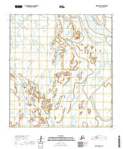
2020 · Kwiguk D-5 NW
USGS Topo · 1:25,000
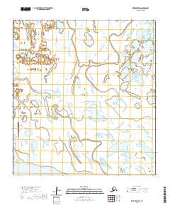
2020 · Kwiguk D-5 SW
USGS Topo · 1:25,000