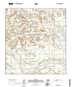
2020 Map of Kwiguk D-6 SE
USGS Topo · Published 2020About this map
Emmonak serves as the primary hub within this sprawling network of Yukon Delta waterways in Kusilvak. The village's local infrastructure is detailed along the southern edge of the sheet, where the Emmonak Courthouse and various local thoroughfares like Kwiguk Street and Yukon Way organize the riverbank settlement. A complex labyrinth of passes and sloughs, including the prominent Kwiguk Pass and Bugomowik Pass, demonstrates the intricate hydrography of the region, where land and water merge into a shifting mosaic of tundra and tidal influence. Transportation is defined almost entirely by these natural corridors, with only essential local roads such as Emmonak Road and Airport/Clinic Road providing overland access to the town's key services. The presence of Cemetery Road and the various named sloughs like Aknokivik Slough highlight the specific geographic markers critical for local navigation and community history in this part of Alaska.
Find a feature on this map
22 named features on this map. Tap any name to fly to it.
Don’t see what you’re looking for? This feature index may not catch every label — zoom into the map to look around manually.
Map Details
Editions of this 2020 Kwiguk D-6 SE Map
This is the sole edition of this map. No revisions or reprints were ever made.
Other maps of this area

1952 · Kwiguk
USGS Topo · 1:250,000

1952 · Kwiguk C-6
USGS Topo · 1:63,360

1952 · Kwiguk D-6
USGS Topo · 1:63,360

1952 · Kwiguk C-5
USGS Topo · 1:63,360

1952 · Kwiguk D-5
USGS Topo · 1:63,360
2020 · Kwiguk D-6 SW
USGS Topo · 1:25,000
2020 · Kwiguk D-5 NW
USGS Topo · 1:25,000
2020 · Kwiguk D-5 SW
USGS Topo · 1:25,000
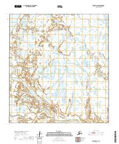
2020 · Kwiguk D-6 NE
USGS Topo · 1:25,000
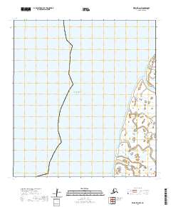
2020 · Kwiguk D-6 NW
USGS Topo · 1:25,000