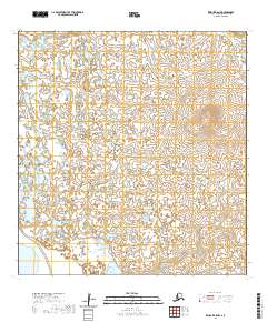
2020 Map of Kwiguk A-5 NW
USGS Topo · Published 2020About this map
The Ponglevik River winds through the northern reaches of this Kusilvak landscape, defining the primary drainage for a region characterized by intricate hydrography and marshy terrain. The survey captures a vast wetland ecosystem where hundreds of small, unnamed lakes and ponds dot the landscape across township boundaries like t25n r82w and t24n r82w. As a contemporary record from the U.S. Geological Survey, it provides a precise view of the tundra's surface water patterns and subtle elevation changes, crucial for understanding the shifting hydrology of the Alaska wilderness. The absence of permanent roads or settlements highlights the isolation of this subarctic environment, where the river remains the most prominent geographical landmark for navigation and land management.
Find a feature on this map
5 named features on this map. Tap any name to fly to it.
Don’t see what you’re looking for? This feature index may not catch every label — zoom into the map to look around manually.
Map Details
Editions of this 2020 Kwiguk A-5 NW Map
This is the sole edition of this map. No revisions or reprints were ever made.
Other maps of this area

1952 · Kwiguk
USGS Topo · 1:250,000

1952 · Kwiguk A-5
USGS Topo · 1:63,360

1952 · Kwiguk B-6
USGS Topo · 1:63,360

1952 · Kwiguk A-6
USGS Topo · 1:63,360

1952 · Kwiguk B-5
USGS Topo · 1:63,360
2020 · Kwiguk B-5 SW
USGS Topo · 1:25,000
2020 · Kwiguk A-5 SW
USGS Topo · 1:25,000
2020 · Kwiguk A-5 SE
USGS Topo · 1:25,000
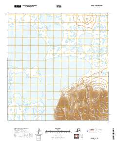
2020 · Kwiguk A-6 SE
USGS Topo · 1:25,000
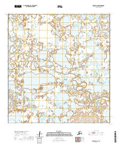
2020 · Kwiguk A-6 NE
USGS Topo · 1:25,000