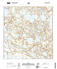
2020 Map of Kwiguk A-6 SW
USGS Topo · Published 2020About this map
Black River meanders across this landscape of the Yukon-Kuskokwim Delta, defining the drainage patterns of a region dominated by vast wetland complexes and countless unnamed thaw lakes. The terrain is characterized by the low-lying, water-saturated plains of the Kusilvak Census Area, where the river's shifting course over time has created a network of sloughs and oxbows typical of this subarctic environment. Apart from the prominent Nunavakanuk Lake in the northeast, the map reveals a largely uninhabited wilderness where the hydrography is the primary defining feature. This map serves as a detailed record of the delta's intricate water systems during the early twenty-first century, showing the specific orientation of the river as it winds through the township and range grids of the Public Land Survey System.
Find a feature on this map
11 named features on this map. Tap any name to fly to it.
Don’t see what you’re looking for? This feature index may not catch every label — zoom into the map to look around manually.
Map Details
Editions of this 2020 Kwiguk A-6 SW Map
This is the sole edition of this map. No revisions or reprints were ever made.
Other maps of this area

1951 · Marshall
USGS Topo · 1:250,000

1951 · Hooper Bay
USGS Topo · 1:250,000

1951 · Black
USGS Topo · 1:250,000

1952 · Kwiguk
USGS Topo · 1:250,000

1952 · Black A-1
USGS Topo · 1:63,360

1952 · Kwiguk A-6
USGS Topo · 1:63,360
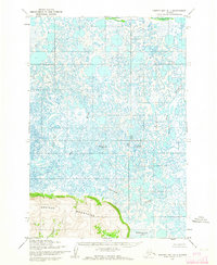
1952 · Hooper Bay D-1
USGS Topo · 1:63,360
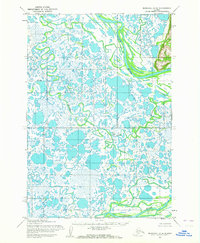
1952 · Marshall D-8
USGS Topo · 1:63,360

1953 · Hooper Bay
USGS Topo · 1:250,000

1954 · Marshall
USGS Topo · 1:250,000