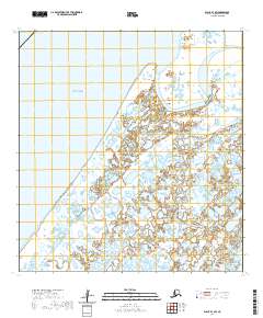
2020 Map of Black B-1 SW
USGS Topo · Published 2020About this map
The Bering Sea coastline meets the intricate, water-logged delta of the Yukon-Kuskokwim region in this 2020 record. The landscape is defined by an immense network of unnamed wetlands, ponds, and sloughs, where land and water are nearly indistinguishable. The Black River winds through the northern portion of the sheet, while the Kipniyagok River meanders across the southeast, draining a coastal tundra that remains largely wild and untouched by major road infrastructure. The small settlement of Black sits near the river that bears its name, positioned within a complex hydrographic system that dictates the rhythm of life and travel in the Kusilvak Census Area. This map illustrates the geographical challenges of the Alaskan coast, where tidal influences and seasonal shifts continually reshape the delta's fragile morphology.
Find a feature on this map
8 named features on this map. Tap any name to fly to it.
Don’t see what you’re looking for? This feature index may not catch every label — zoom into the map to look around manually.
Map Details
Editions of this 2020 Black B-1 SW Map
This is the sole edition of this map. No revisions or reprints were ever made.
Other maps of this area

1951 · Black
USGS Topo · 1:250,000

1952 · Black A-2
USGS Topo · 1:63,360

1952 · Black A-1
USGS Topo · 1:63,360

1952 · Black B-1
USGS Topo · 1:63,360
2020 · Black B-1 NE
USGS Topo · 1:25,000
2020 · Black A-1 NE
USGS Topo · 1:25,000
2020 · Black B-1 NW
USGS Topo · 1:25,000
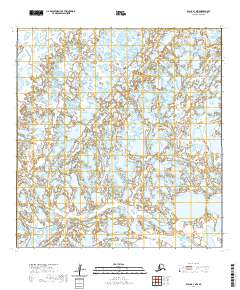
2020 · Black A-1 NW
USGS Topo · 1:25,000
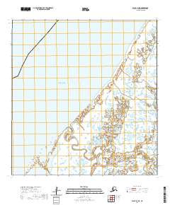
2020 · Black A-2 NE
USGS Topo · 1:25,000
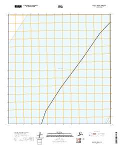
2020 · Black B-1 OE W SE
USGS Topo · 1:25,000