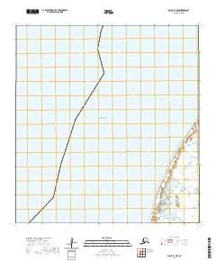
2020 Map of Black B-1 NW
USGS Topo · Published 2020About this map
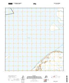
The coastal waters of the Bering Sea meet the intricate tidal wetlands of the Yukon-Kuskokwim Delta on this 2020 survey. This area is defined by massive river distributaries, most notably the Taku Channel and Acharon Channel, which carve through the sediment-rich coastal fringe. The landscape is primarily composed of low-lying wetlands and seasonal waterways, illustrating the dynamic interface where the river's freshwater discharge encounters the sea. The absence of permanent structures or roads emphasizes the isolation of this corner of the Kusilvak Census Area, where the natural drainage patterns of the delta remain the dominant geographical force.
Find a feature on this map
7 named features on this map. Tap any name to fly to it.
Don’t see what you’re looking for? This feature index may not catch every label — zoom into the map to look around manually.
Map Details
Editions of this 2020 Black B-1 NW Map
This is the sole edition of this map. No revisions or reprints were ever made.
Other maps of this area

1951 · Black
USGS Topo · 1:250,000
1952 · Black C-1
USGS Topo · 1:63,360

1952 · Black B-1
USGS Topo · 1:63,360
2020 · Black B-1 SW
USGS Topo · 1:25,000
2020 · Black B-1 NE
USGS Topo · 1:25,000
2020 · Black C-1 SE
USGS Topo · 1:25,000
2020 · Black B-1 OE W SE
USGS Topo · 1:25,000
2020 · Black B-1 SE
USGS Topo · 1:25,000