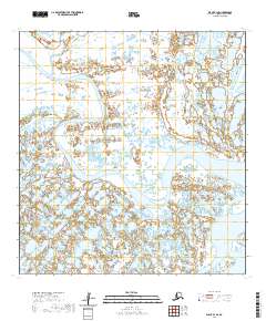
2020 Map of Black B-1 SE
USGS Topo · Published 2020About this map
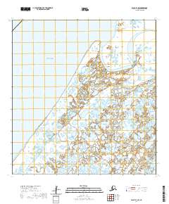
The Black River dominates this landscape within the Kusilvak Census Area, winding in wide meanders across a terrain defined by complex wetland systems and small, scattered ponds. This U.S. Geological Survey topographic study captures the hydrological character of the region as it appeared in 2020, illustrating the shifting path of the river through various townships including T26n R86w and T25n R85w. The map provides a precise look at the drainage patterns and low-elevation relief that characterize this part of the Alaskan interior, where the water's influence on the land is the primary geographic feature. For researchers and those interested in the remote hydrologic systems of the North, the detailed contours and wetland data show the subtle shifts in the river's course over time.
Find a feature on this map
5 named features on this map. Tap any name to fly to it.
Don’t see what you’re looking for? This feature index may not catch every label — zoom into the map to look around manually.
Map Details
Editions of this 2020 Black B-1 SE Map
This is the sole edition of this map. No revisions or reprints were ever made.
Other maps of this area

1951 · Black
USGS Topo · 1:250,000

1952 · Kwiguk
USGS Topo · 1:250,000

1952 · Black A-1
USGS Topo · 1:63,360

1952 · Black B-1
USGS Topo · 1:63,360

1952 · Kwiguk B-6
USGS Topo · 1:63,360

1952 · Kwiguk A-6
USGS Topo · 1:63,360
2020 · Kwiguk A-6 NW
USGS Topo · 1:25,000
2020 · Kwiguk B-6 NW
USGS Topo · 1:25,000
2020 · Kwiguk B-6 SW
USGS Topo · 1:25,000
2020 · Black B-1 SW
USGS Topo · 1:25,000